
Jeffersontown Neighbors by Source
No single public source identifies every household around a Jeffersontown address. LOJIC supplies parcel geometry. The PVA roll supplies assessment ownership. Deeds supply recorded parties and title links. Voter records have a narrow individual form and regulated data-order products. The city association list supplies community names and contacts, not resident names.
| Source | Block evidence | Access route |
|---|---|---|
| LOJIC Online | Adjacent polygons, address points, parent parcels, owner and district fields | Free map, address or parcel search |
| Jefferson County PVA | Parcel card, owner, assessed value, acres, neighborhood label | Free address search; deeper tabs by subscription or terminal |
| County deed index | Grantor, grantee, plat, easement, and title documents | Online index, archive, and Deed Room |
| Kentucky voter records | Individual registration match or ordered street format | Name and DOB lookup; SBE-84 for data order |
| City associations | Named communities and public contact leads | Official city list |
| City archive and requests | Minutes, maps, service records, permits, newsletters | Archive filters or specific records request |
A property owner can live elsewhere. An owner mailing line can differ from the parcel's street address. One parcel can also represent common land, a business, or a parent tract with several units. Classify each result before calling a name one of your neighbors.
Define Jeffersontown Neighbors First
“Nearby” changes with the question. A parcel that touches the subject lot is a map neighbor. A home in the same number range is a street neighbor. A property within a voluntary association is a community neighbor. Those groups can overlap, but none is a complete household roster.
- Parcel neighbor
- A GIS polygon that shares a boundary or lies inside a chosen radius.
- Street neighbor
- An address on the same named street or block range.
- Title neighbor
- A parcel connected through a plat, easement, deed, or prior-owner chain.
- Voting neighbor
- A registration address seen through a lawful voter route.
- Community neighbor
- A property in a named civic or association area, without proof of membership.
The definition controls the tool. Use LOJIC for geometry, the clerk for title, election officials for voter data, and association contacts for community questions. This keeps a block search narrow and prevents a postal or social label from being mistaken for a legal boundary.
Map Jeffersontown Neighbors in LOJIC
LOJIC Online is the main official tool for moving from one address to the parcels around it. Search choices include an address, parcel ID, and subdivision. Property, Addresses, and Labels layers help separate the mapped lot from the road label. The Buffer tool draws a chosen radius in miles, feet, meters, or kilometers.
- Search the exact address. If it fails, use a USPS-standardized form or the PVA parcel ID.
- Select the subject polygon. Note its parent parcel, acreage, and mapped street line.
- Choose a small buffer in feet or meters. Zoom to it, then inspect parcels that touch the lot or fall within the circle.
- Open each parcel report. Record the property address, parcel ID, owner mailing line, neighborhood, district, and transfer fields.
- Mark alleys, roads, creeks, common land, and parent-child parcels. A radius is not a legal block.
For a whole named road rather than the immediate radius, switch to the Jeffersontown by-street records method. That workflow follows many addresses and their deed chains, while this neighbor lookup stays centered on one parcel.
Map tip. A very small LOJIC buffer is useful for discovery, but shared polygon edges should be checked before a parcel is labeled adjacent.
Read Jeffersontown Neighbor Parcels
A LOJIC Parcel Report can expose more than a name. Property fields include parcel ID, physical address, parent parcel, GIS acreage, class, and homestead status. Owner information includes name and a mailing line. Assessment fields show land, improvements, total value, and year. District fields can include satellite city, neighborhood, school, fire, and old district.
Building-character fields may show year built, finished area, construction, bathrooms, basement, garage, and other features. Transfer rows can include current grantee, prior grantor, deed book and page, sale date, and price. These are property facts. They do not reveal every person who stays at the site.
The free Jefferson County PVA address search offers a second check. It accepts a street name or number range, then returns parcel cards with owner, parcel ID, value, acreage, and neighborhood. Owner, legal, and sales tabs require a subscriber account or in-person PVA or library terminal.
Jeffersontown Neighborhood Association Leads
The official Jeffersontown neighborhood associations list names six communities. It does not publish member rolls, exact borders, dues, or a house-by-house directory. Its value is civic context and a public contact route when a question concerns a named community rather than one parcel.
Gaslite Estates
HOA listing with agent Jim Parker at 502-744-9117.
Landherr Estates
Named by the city as a homeowners association.
Monticello Place
Listed as a community association.
Plainview
Listed as the Plainview Residents Association.
Town Square Village Townhomes is tied to Sprowl Road, and Vantage Point HOA also appears on the city list. The city directs missing associations to City Hall at 502-267-8333. A PVA neighborhood label or LOJIC district can differ from a voluntary association name, so do not use one as the other's boundary.
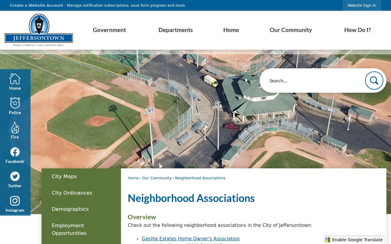
The captured city list is a community contact index, not proof that any address or person belongs to an association.
Jeffersontown Neighbors and Voter Data
Kentucky's individual voter form is not a block browser. It requires legal first name, last name, and birth date, with the last four Social Security digits optional. There is no county field. A match is registration evidence, not a complete statement of who lives at an address.
Street and household products follow KRS 116.095 and 31 KAR 3:010. An SBE-84 order can request paper street or household labels by street or ZIP, and fields may include name, address, party, age code, gender, ZIP, and five-year voting history. Purpose, fee, format, use, and redaction rules apply. It should not be republished as an unsolicited roster.
For a simple personal check, use the Kentucky Voter Information Center only with the required details. For file questions, contact election officials and retain the approved purpose and source date.
Jeffersontown Block Records Offline
City material can add dates and civic context when no public block index exists. The archive includes council minutes, public hearings, warrants, budgets, tax-rate records, historical society newsletters, museum books, and museum newsletters. Search by street, surname, group, category, and year rather than using only a broad neighborhood term.
The city historical documents collection provides early histories, church records, and Jeffersontown's first two centuries.
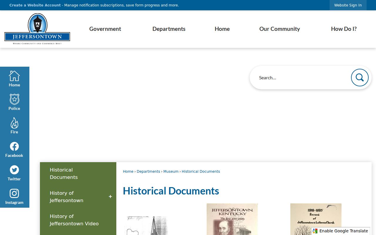
Those documents can explain an old road or community name, but a dated narrative should not be used as proof of a current neighbor.
Permit, Public Works, code, map, or association files can be requested by exact address, date range, and record type. Ask for an existing record, inspection or copies, and the desired format. The city need not create a new list.
Request Jeffersontown Neighbor Records
The Jeffersontown records instructions route city requests through the City Clerk/Treasurer. The form asks for contact details, residency category, a precise description, inspection or copy choice, medium, signature, and date. The stated copy charges are $0.10 per page, $2 for audio tape, and $5 for video tape.
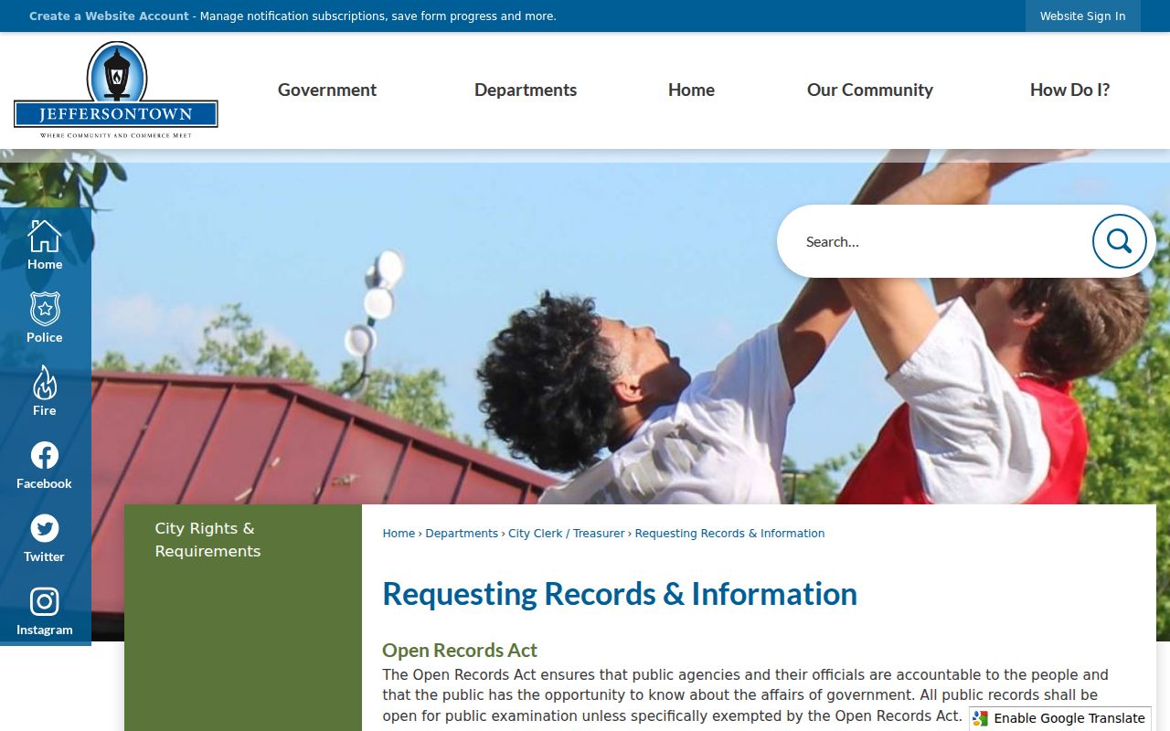
The instructions show why a request such as “all neighbors” is too broad. Ask instead for a held map, dated permit, meeting exhibit, service record, or association document tied to an address.
The GovQuest new-request route separates City Hall and police material.
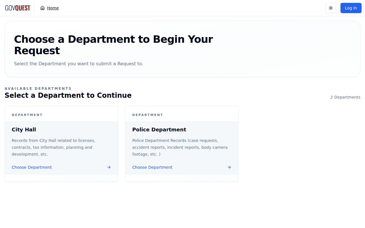
The portal supports a specific, trackable request when the archive and public maps do not expose the needed city record.
Official Jeffersontown Neighbor Sources
Commercial neighbor tools can combine stale files, uncertain name matches, and old addresses. Official rolls are narrower, yet they show who keeps the field, when it was updated, and what the field means. That makes the official route slower but easier to verify.
| Question | Official route | Commercial category limit |
|---|---|---|
| Which parcels touch? | LOJIC geometry | Map source may be unclear |
| Who owns a parcel? | PVA plus deed index | Owner may be old or unlabeled |
| Which community is named? | City association list | Group names may be inferred |
| Is a result current? | Check source date and custodian | Refresh date may be unknown |
Keep a short source note for every result: parcel owner, mailing recipient, registered voter, association contact, or historical occupant. These roles are not interchangeable.
Privacy for Jeffersontown Neighbors
A privacy-safe neighbor map shows public parcels and record categories, with a date and clear owner-versus-occupant label. It does not assemble a household roster. Kentucky Safe at Home gives qualifying participants a substitute address, mail forwarding, and voter protections. A physical address protected through that program should never be sought or exposed through an ordinary records workflow.
GIS parcel lines are not legal surveys. Voter records have statutory limits. Utility and delivery details are not ordinary public block data. Historical sources should name the year and the person's relation to the address, since an old directory entry cannot establish present residence.
Lawful use. Use Jeffersontown neighbor records for personal research, civic context, or safety awareness, never to watch, intimidate, harass, or harm anyone.
When accuracy matters, return to the custodian. Correct a property issue through PVA or the clerk, a city-record question through the City Clerk/Treasurer, and a voter question through election officials. A missing or redacted name is not permission to work around a safety protection.